Trail Other activity Val de Bagnes - 2005_06_16_Fionnay-Panossière-Otanes-Bonatchiesse-Fionnay - Photo

2005_06_16_Fionnay-Panossière-Otanes-Bonatchiesse-Fionnay

 daniel59
daniel59

User

© OpenStreetMap contributors
Length
Length
17 km
Max alt
Max alt
2866 m
Uphill gradient
Uphill gradient
1492 m
Km-Effort
Km-Effort  
37 km
Min alt
Min alt
1486 m
Downhill gradient
Downhill gradient
1499 m
Boucle
Boucle
Yes
Creation date :
2014-12-11 00:00:00.0
Updated on :
2014-12-11 00:00:00.0

(0 Reviews)

Other activity
Other activity
--
Difficulty : Unknown

Scan this QR Code to open this trail in the SityTrail application

FREE GPS app for hiking

Logo SityTrail SityTrail

IGN / Geographical institutes

Download SityTrail from the App Store Download SityTrail from Google Play

Logo SityTrail SityTrail World

The world is yours!

Download SityTrail from the App Store Download SityTrail from Google Play Download SityTrail on Huawei AppGallery

About

Trail Other activity of 17 km to be discovered at Valais/Wallis, Entremont, Val de Bagnes. This trail is proposed by daniel59.

Description

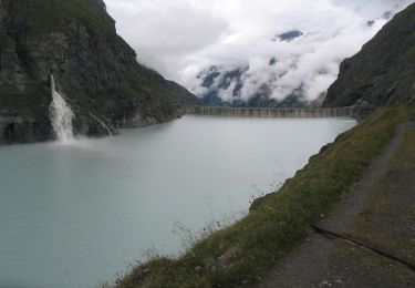
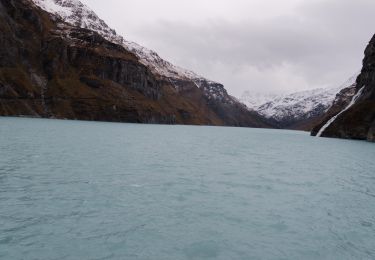
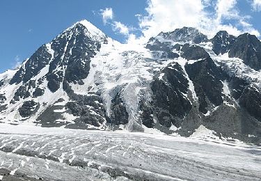
Malgré que le gardien de la cabane Panossière a déconseillé le tour, après téléphone à un guide je me suis "lancé" avec Florence. Aucun problème jusqu''à la cabane, quasiment aucun névé à traverser. A la cabane volets ouverts et le drapeau est pendu! Il ne flotte même pas, car il n''y a pas un courant d''air. Personne à la cabane! Température très agréable, vue magnifique sur le Gd-Combin d''un blanc immaculé!

Après une bonne pause dans un coin de rêve nous poursuivons notre chemin par le col des Otanes. La traversée du col est "pénible", nous enfonçons à chaque pas largement au-dessus des genoux! Heureusement le névé "plongeant" sur Bonatchiesse "porte". Le piolet a été utile (pas indispensable) dans quelques passages.

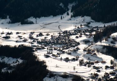
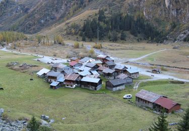
Un petit arrêt au bistrot de Bonatchiesse, une visite du camping pour savoir si Florence peut venir avec son camping-car! Et retour à Fionnay.

J''oubliais, il y avait encore ma chienne Nigelle qui comme nous était toute contente de sa journée.

Belle journée, nous avions RDV à 6h30 à Châtel-St-Denis, nous étions de retour à 18h30! Sans attente à Glion ...

P.S. Le dénivelé affiché est faux!

Elevation profile

Positioning

Country:
Switzerland
Region :
Valais/Wallis
Department/Province :
Entremont
Municipality :
Val de Bagnes
Location:
Unknown
Start:(UTM)
369011 ; 5099054 (32T) N.

Trails nearby

Trail On foot Val de Bagnes - Barrage de Mauvoisin - Le Pleureur - Photo
On foot
GUIDE+

On foot

Medium
Val de Bagnes, Valais/Wallis, Entremont, Switzerland
4.3 km | 23 km-effort
5h 11min
No
Trail On foot Val de Bagnes - Pazagnou-Col des Otanes - Photo
On foot
GUIDE+

On foot

Easy
Val de Bagnes, Valais/Wallis, Entremont, Switzerland
4 km | 11.6 km-effort
2h 38min
No
Trail On foot Val de Bagnes - Fionnay-Bonatchiesse - Photo
On foot
GUIDE+

On foot

Easy
Val de Bagnes, Valais/Wallis, Entremont, Switzerland
4.5 km | 6.3 km-effort
1h 26min
No
Trail On foot Val de Bagnes - Louvie-Fionnay - Photo
On foot
GUIDE+

On foot

Easy
Val de Bagnes, Valais/Wallis, Entremont, Switzerland
3.7 km | 6.3 km-effort
1h 26min
No
Trail On foot Val de Bagnes - Col Termin-Louvie - Photo
On foot
GUIDE+

On foot

Easy
Val de Bagnes, Valais/Wallis, Entremont, Switzerland
3.8 km | 6.3 km-effort
1h 25min
No
Trail Walking Val de Bagnes - Mauvoisin Bonatchiesse - Photo
Walking
michauxpaul

Walking

Difficult
Val de Bagnes, Valais/Wallis, Entremont, Switzerland
8.7 km | 16.2 km-effort
3h 40min
Yes
Trail On foot Val de Bagnes - Promenade de la Dranse - Photo
On foot
GUIDE+

On foot

Easy
Val de Bagnes, Valais/Wallis, Entremont, Switzerland
7.1 km | 9.4 km-effort
2h 8min
No
Trail On foot Val de Bagnes - Panossière-La Maye - Photo
On foot
GUIDE+

On foot

Easy
Val de Bagnes, Valais/Wallis, Entremont, Switzerland
3.8 km | 6.4 km-effort
1h 27min
No
Trail On foot Val de Bagnes - Bonatchiesse-Mauvoisin - Photo
On foot
GUIDE+

On foot

Easy
Val de Bagnes, Valais/Wallis, Entremont, Switzerland
3.2 km | 6.1 km-effort
1h 22min
No


Close
My subscriptions